Contributors
Subscribe to our newsletter
Featured photo credit: Lucy Kinbacher. The Land.
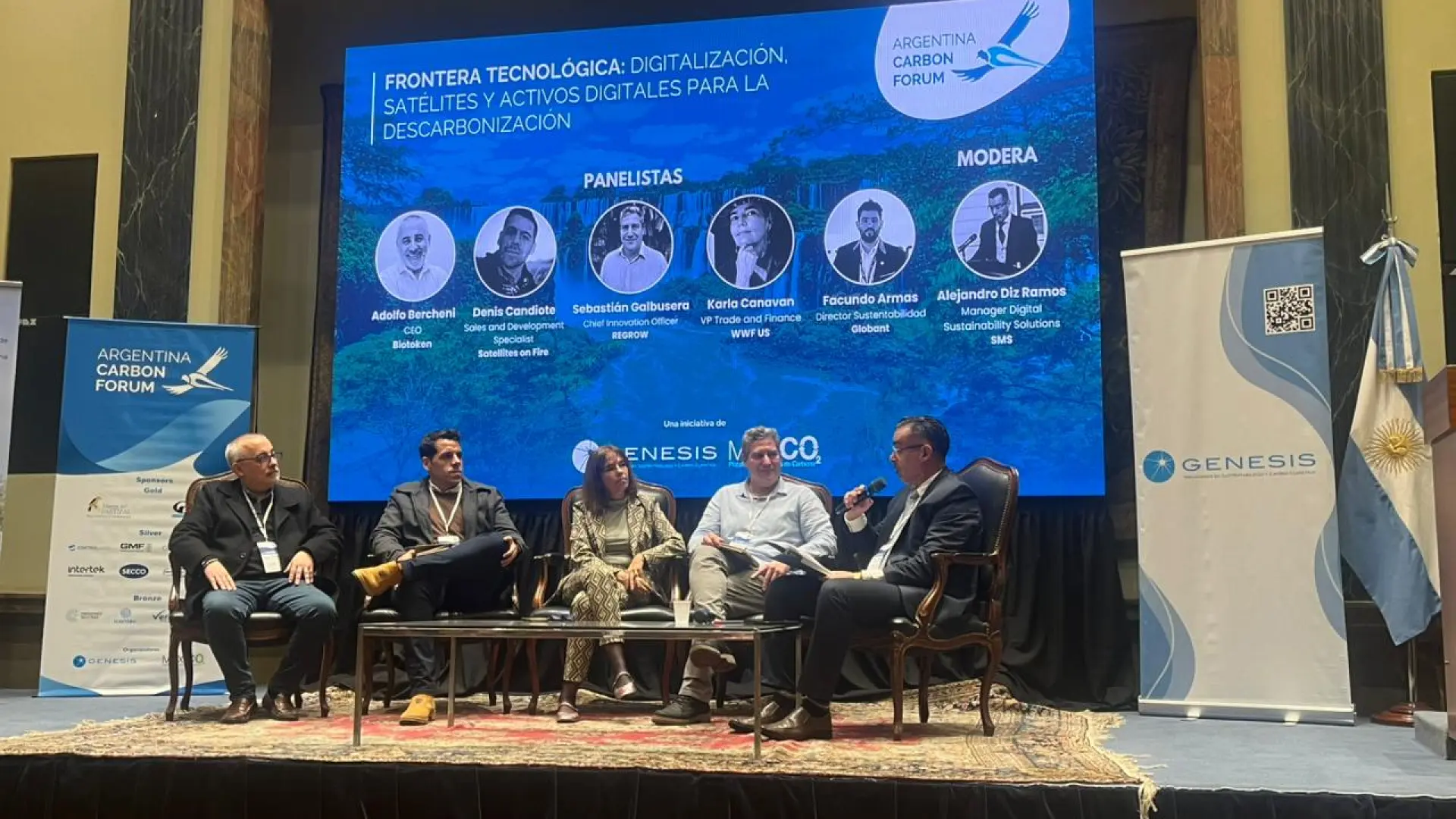
Note: In 2021, FluroSat and soil health startup Dagan combined forces to become Regrow. Up-to-date information about the Regrow platform can be found on regrow.ag.
Historically, in pasture management, it has been difficult to use data-based approaches to make decisions given the lack of automated data capture in farm machinery.
Using FluroSense Insights in conjunction with remote sensing, producers are now able to keep track of pasture performance in real-time alongside monitoring their broadacre crops. FluroSense Insights allow you to:
- Understand field variability and optimization of sampling location
- Optimize herd rotation through advanced analytics
- Access crop and pasture performance insights in minutes by using API integrations with Farm Management Systems like Agworld
In this case study, you will be able to see how producers can utilize the Flurosense Crop Performance Reports, and the Crop Performance Dashboard to solve mixed farm issues. Combined, these resources use remotely sensed biomass scores and crop growth status for each paddock to make data-driven and timely herd rotation decisions.


Another tool that can be used is the FluroSense Zoning Tool, which allows an extrapolation of suggested sampling results to build field-specific application maps. This is especially useful in helping to identify and optimize sampling locations.

Through the utilization of remote sensing-based insights for crop and pasture management, producers can follow an easy-to-adopt workflow that focuses on optimizing the efficiency of their mixed farming operations.
To learn more about how remote sensing and FluroSense Insights can solve mixed-livestock challenges, read our case study attached below!
FluroSense wishes to acknowledge that the Romani Pastoral Company trial was funded by Meat & Livestock Australia mla.com.au.