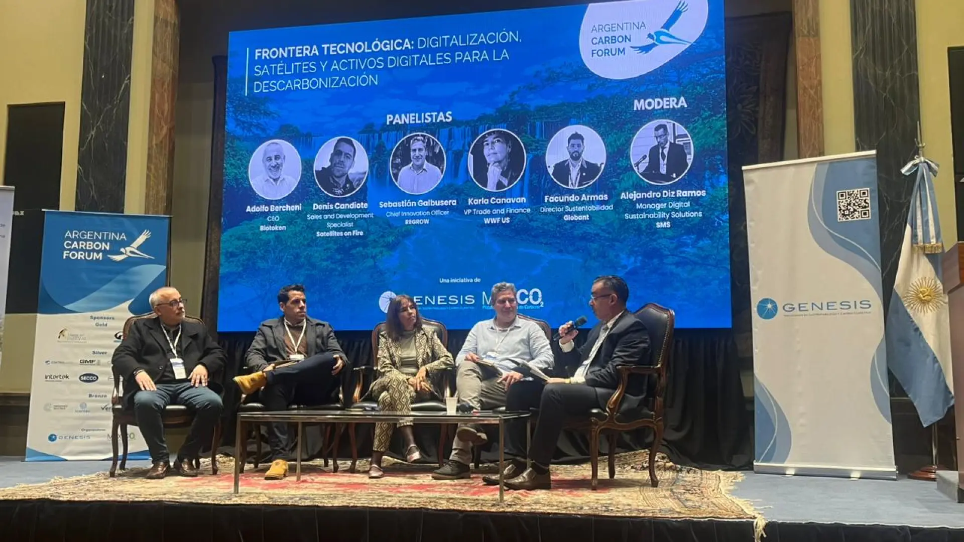
Contributors

Subscribe to our newsletter
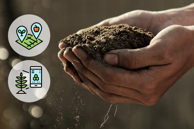
We're thrilled to share the release of a new feature that shows you where to collect tissue /soil sampling points (TSPs) in each field to ensure the data you collect is relevant to what is happening in your crop! Rather than taking random samples, we suggest points based on the variation of nutrition, vigour or other health factors detected by our remote-sensing data.
The TSP location generation is closely tied to the management zones, which groups areas based on similar Vegetation Index (VI) values. FluroSense automatically generates management zones for any vegetation index (VI) supported by the platform like CCCI, NDVI, NDRE, thermal or yield layer. A sampling point will then be generated for each class (i.e.: group of similar values).

Each sampling point includes GPS coordinates you can use to locate yourself either by using the button on the platform on a tablet or smartphone or by exporting into another GPS app. Once you have the sampling results, you can easily import the data into the platform, which will associate the sampling results against the sampling points and provide you with a nutrient map of the field.