Realize uma análise rigorosa do escopo 3, crie planos viáveis de redução de carbono e acompanhe os resultados ambientais na fazenda
Progrida em relação aos seus compromissos de sustentabilidade com o MRV flexível da Regrow, que captura o impacto de uma ampla gama de resultados de sustentabilidade.
Each remote sensing platform has different spatial and temporal resolutions, sensors and costs. Learn which will be best for your farming operation.
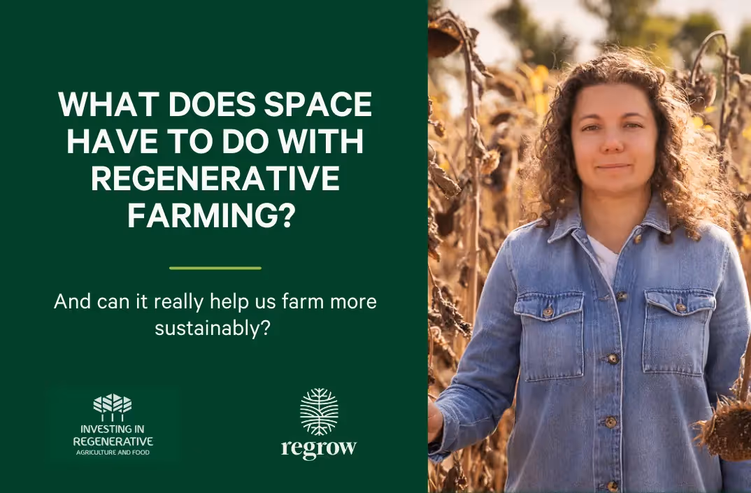
Regrow CEO Anastasia Volkova talks about remote sensing and agriculture on the “Investing in Regenerative Agriculture” podcast.
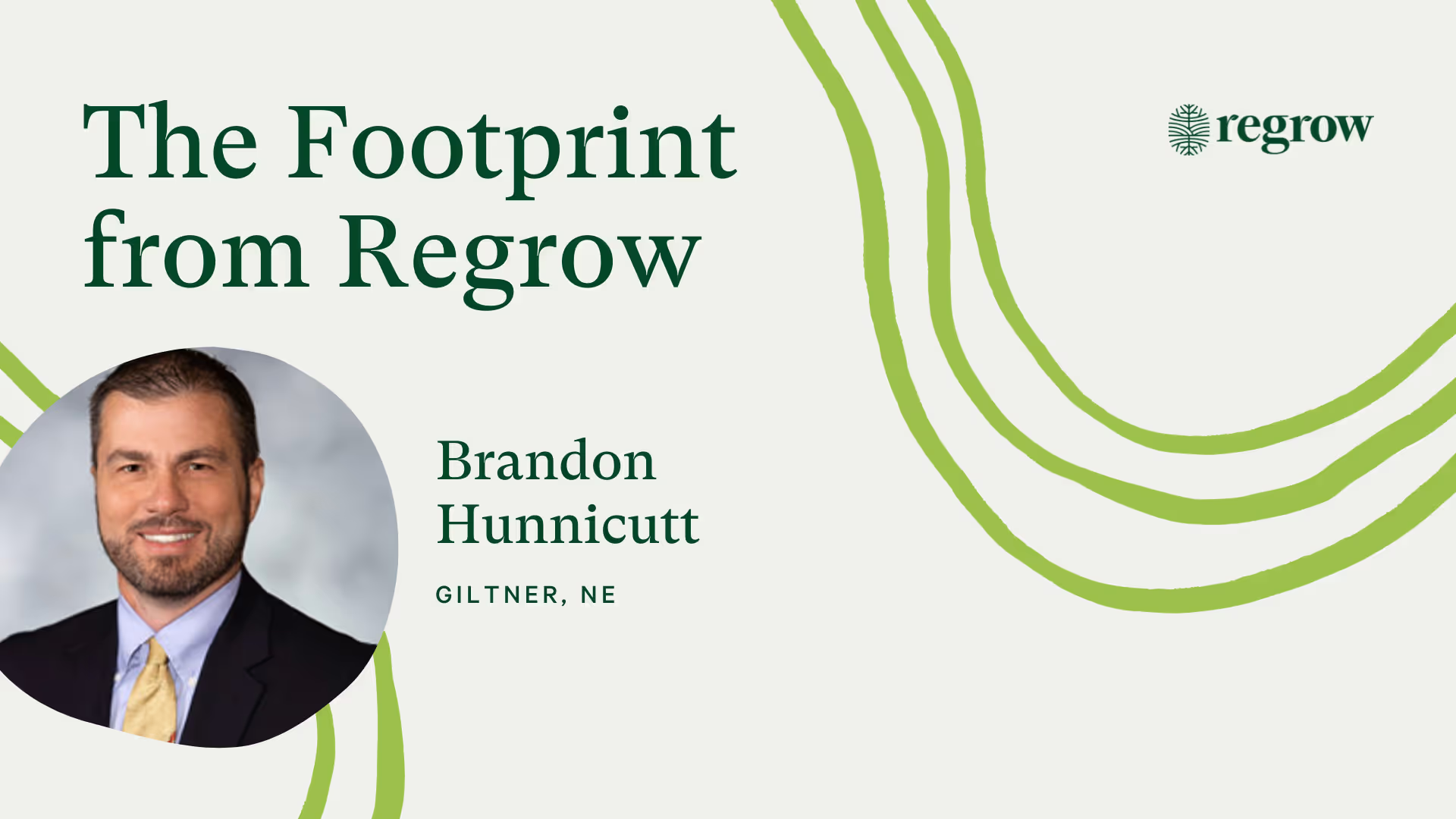
A continuation of our conversation with grower Brandon Hunnicutt on how growers can benefit from transparency within carbon markets.
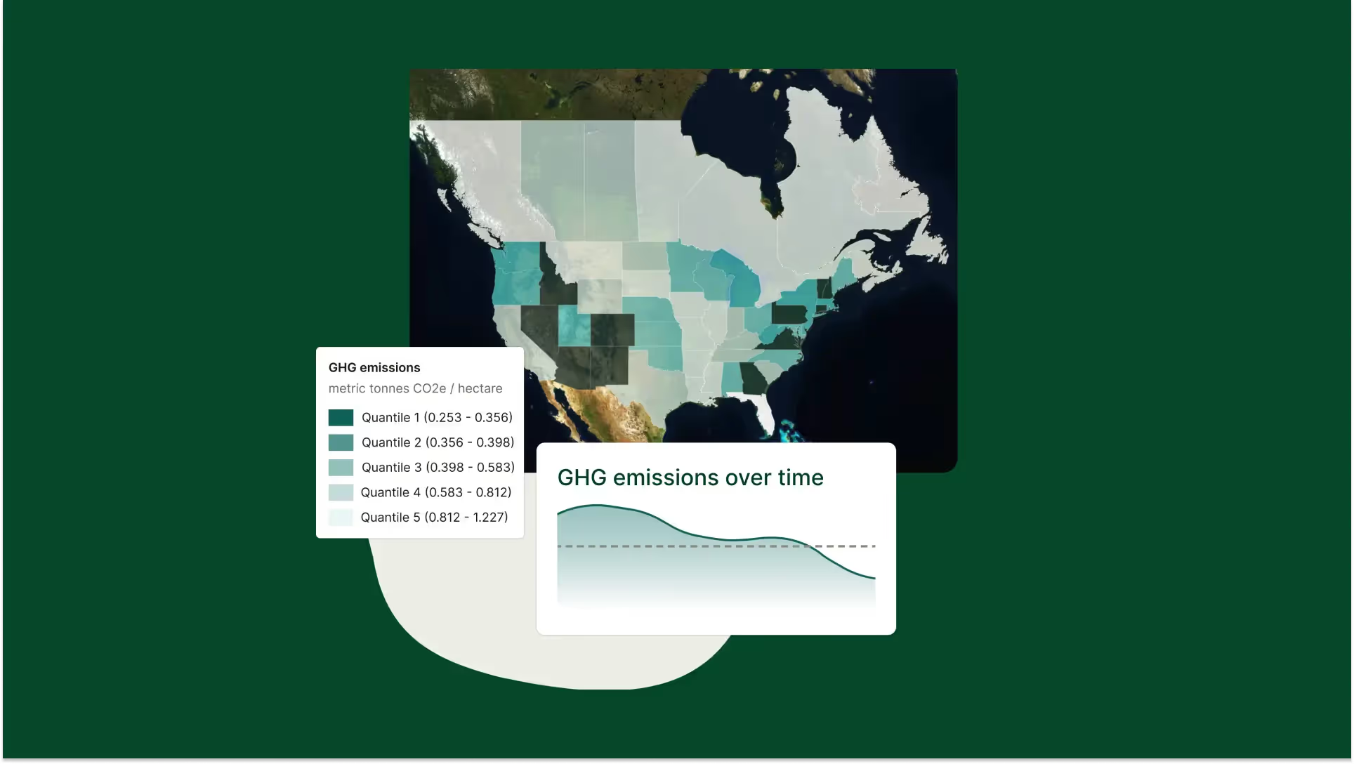
Discover Spatial Exploration, Regrow's interactive geospatial heatmap. Track practice adoption and environmental outcomes to optimize regenerative ag planning.
In addition to running tree analysis on individual fields, now you can select multiple fields to run the trees analysis on.
Explore various vegetation indices like NDVI, MSAVI, NDRE, CCCI, and TCI. This guide clarifies what they measure and when to use each throughout the crop cycle.
Use the zoning tool to divide fields by crop performance. Create site-specific management plans with tissue sampling points for in-field application.
At FluroSat, we're monitoring fields for this season's US cotton crops, leveraging insights gained from the completed Australian season.

.avif)


