Realize uma análise rigorosa do escopo 3, crie planos viáveis de redução de carbono e acompanhe os resultados ambientais na fazenda
Progrida em relação aos seus compromissos de sustentabilidade com o MRV flexível da Regrow, que captura o impacto de uma ampla gama de resultados de sustentabilidade.
See how regular remote sensing-based crop monitoring made it possible to quickly quantify the damage to almond blocks due to unexpected irrigation system outage
Regrow CEO and Co-Founder Anastasia Volkova talks about how CPGs can reduce agriculture supply chain emissions on Abstraction podcast, Season 2, Episode 7.
Learn how you can use Regrow technology and remote sensing to manage irrigation on your orchards with biomass and thermal imagery.
FluroSense - a highly automated decision support software is now available for Tree Crops. It combines essential data layers.
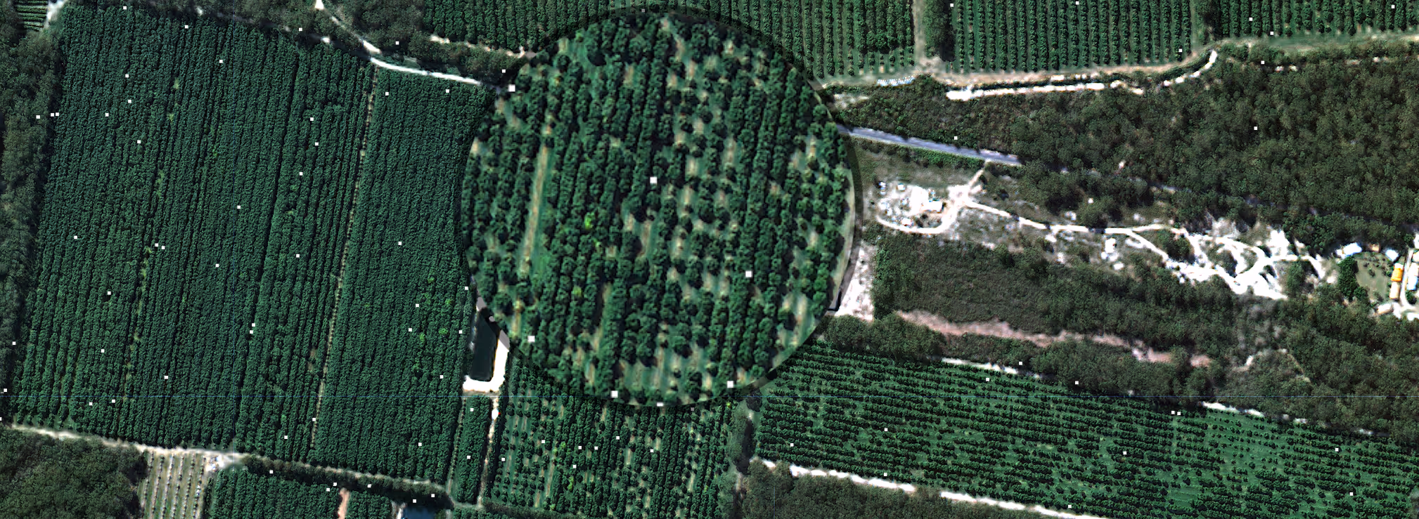
That's why we see the high-resolution (< 1 m/px) satellite imagery growing in demand amongst our customers, thanks to its global availability.
Data from OpTIS, Regrow and CTIC tracked a 250% climb in cover crop acreage—from 2.8 million acres in 2015 to 7.5 million acres in 2021— across U.S. Corn Belt.
We're thrilled to release a feature that identifies tissue/soil sampling points (TSPs) based on nutrition, vigor, and health detected by remote-sensing data.
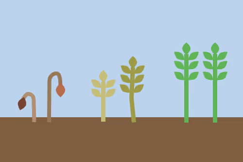
Tutorial on using remote sensing imagery and the reading of your vegetation indices to monitor growth stage of your crops.


.avif)